Past Routes
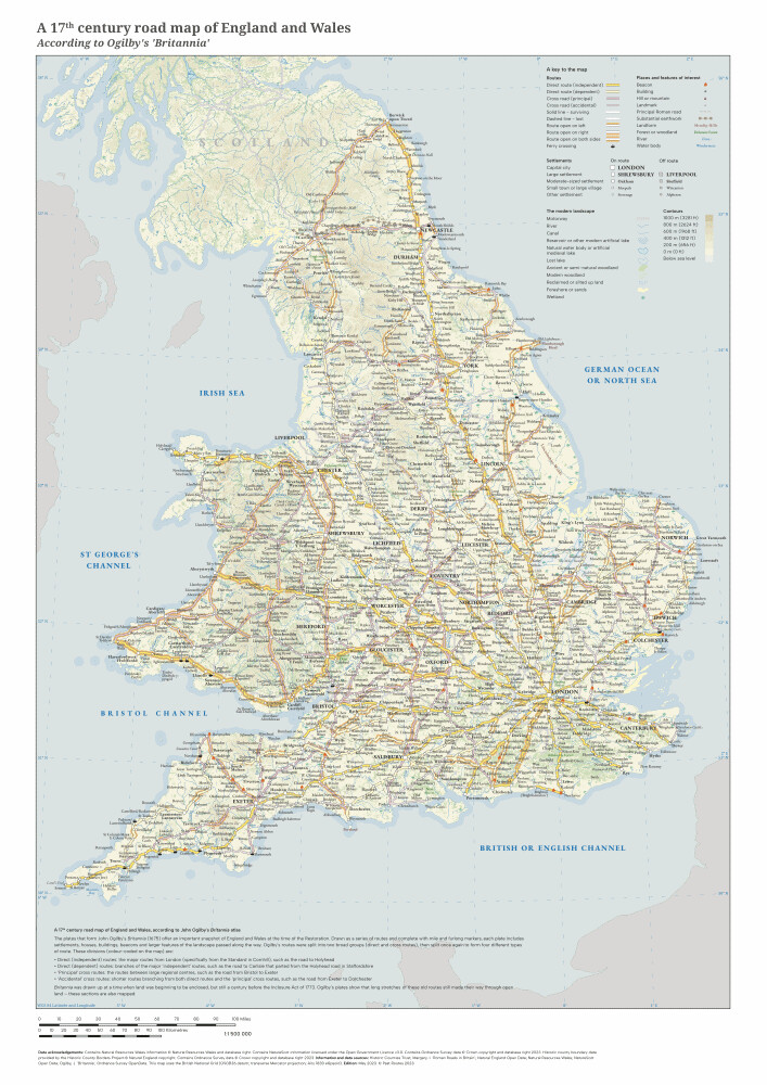
A 17th century road map of England and Wales (According to Ogilby's 'Britannia')
This poster is based on the old routes across England and Wales that were recorded by John Ogilby in his 1675 atlas Britannia. It maps the 100 pages of routes he described.
Many of the routes that Ogilby recorded passed through places that are now pretty obscure, which adds to the historic interest: around 1,200 villages and towns are shown, as well as lots of other places that were passed on his travels.
A version of the old Garamond font is used to give this poster an 'older' feel
The map will be posted in a 45cm long tube. Postage is included in the price.
Map size: A2
Scale: 1:1,500,000
Single-sided
Year: 2023
Paper type: Uncoated 170gsm
The IncuHive Space, Brock House, Grigg Lane, Brockenhurst, SO42 7RE, Hampshire, United Kingdom | 02382543580 | maps@pastroutes.co.uk
© 2023-2025 Past Routes
