Past Routes
Shop
0
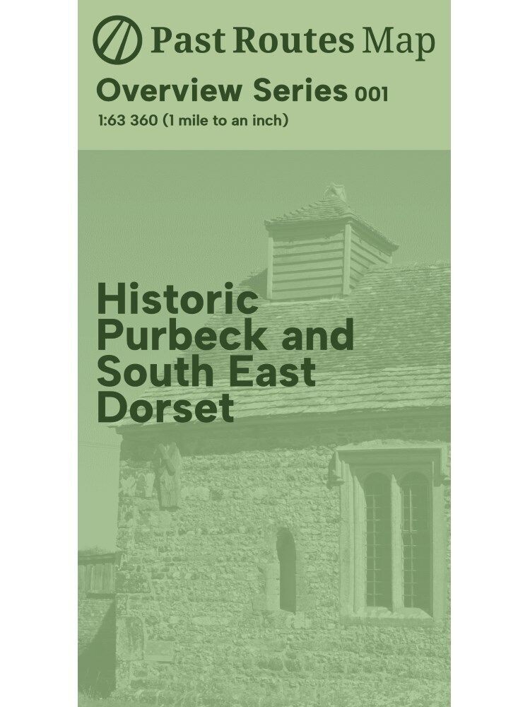
Historic Purbeck and South East Dorset
£8.00
In stock
Product Details
This map provides an overview of historic Purbeck and South East Dorset at a scale of 1:63,360.
The reverse provides an overview of the landscape, as well as a series of detailed village and town plans.
Modern roads are also shown for reference.
Map size: A1 (folds to 198mm x 105mm)
Scale: Main map 1:63,360
Double-sided
Year: 2024
Edition: First (first revision)
ISBN: 9781739447151
Paper type: Uncoated 170gsm
Held by a card band
Historic Purbeck and South East Dorset
Display prices in:
GBP
The IncuHive Space, Brock House, Grigg Lane, Brockenhurst, SO42 7RE, Hampshire, United Kingdom | 02382543580 | maps@pastroutes.co.uk
© 2023-2025 Past Routes
