0
The Lost and Deserted Settlements of Great Britain
£9.00
In stock
Product Details
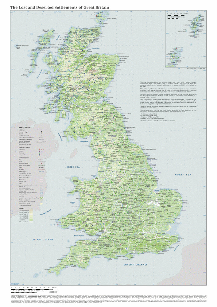
This map illustrates some of the hamlets, villages and – more rarely – towns that have disappeared from Great Britain and its outlying islands. Thousands of these lost settlements are known to have existed: this overview puts around 1,200 of these back on the map.
The settlements on the map are colour-coded according to their likely date of first occupation.
The map will be posted in a 45cm long tube. Postage is included in the price.
Map size: A2
Scale: 1:2,000,000
Single-sided
Year: 2023
Paper type: Uncoated 170gsm
The Lost and Deserted Settlements of Great Britain
Display prices in:
GBP
