Past Routes
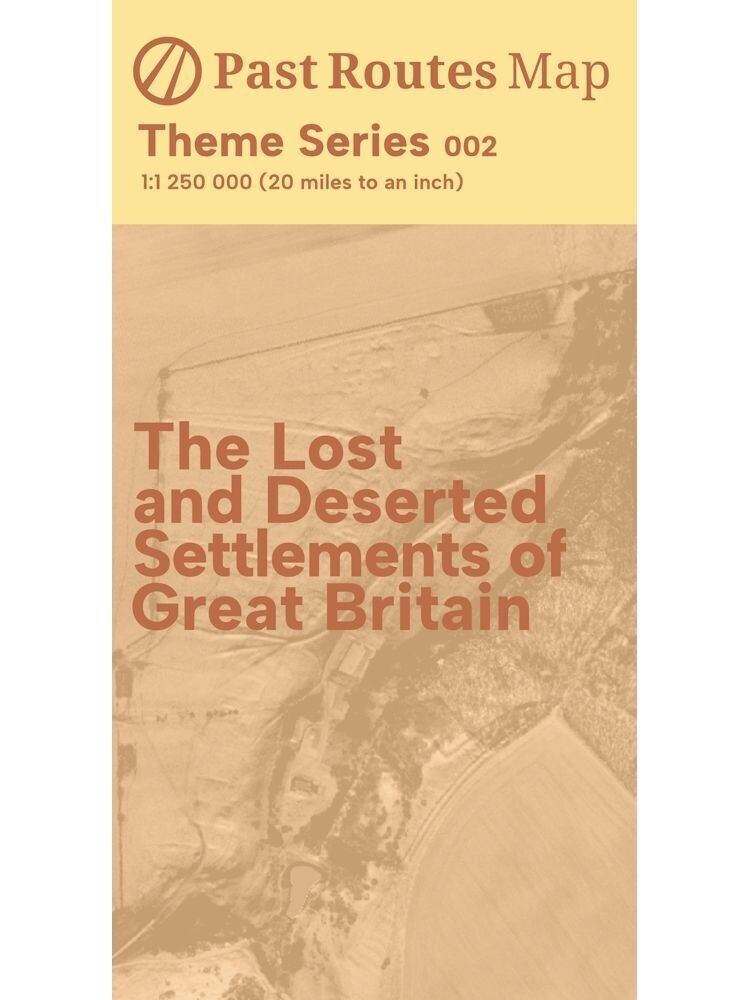
The Lost and Deserted Settlements of Great Britain
This map illustrates some of the hamlets, villages and towns that have disappeared from Great Britain and its smaller outlying islands. Thousands of these lost settlements are known: this map puts around 1,700 of these back on the map at a scale of 1:1,250,000.
Detailed regional plans and an index containing additional information, including accessibility and approximate or known dates of last occupation, is also provided on the reverse.
Modern roads are also shown for reference.
Map size: A1 (folds to 198mm x 105mm)
Scale: Main map 1:1,250,000
Double-sided
Year: 2023
Edition: First
ISBN: 9781739447144
Paper type: Uncoated 170gsm
Held by a card band
The IncuHive Space, Brock House, Grigg Lane, Brockenhurst, SO42 7RE, Hampshire, United Kingdom | 02382543580 | maps@pastroutes.co.uk
© 2023-2025 Past Routes
